

Further topics
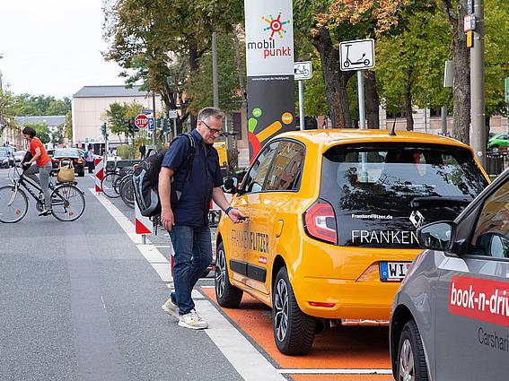
Mobility
On this page you will find an overview of all the important information about mobility and infrastructure in Erlangen.

Cycling
All information for cyclists in Erlangen: Where can I park my bike? Where are the cycle lanes? Information on funding programs and much more.
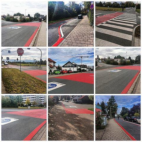
Bicycle lanes in Erlangen
In Erlangen, ten bicycle lanes have been designated so far, for which new guidelines for uniform design have now been adopted.
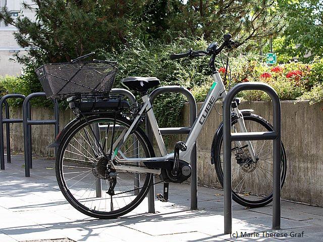
Bicycle parking
The "Transport Development and Mobility Plan 2030" and the "Bicycle City of the Future Plan" state that the number of bicycle parking spaces in Erlangen will be greatly increased in the coming years in order to promote cycling.
Bicycle city map
All information about the bicycle city map
Mobility
On this page you will find an overview of all the important information about mobility and infrastructure in Erlangen.
Cycling
All information for cyclists in Erlangen: Where can I park my bike? Where are the cycle lanes? Information on funding programs and much more.
Bicycle lanes in Erlangen
In Erlangen, ten bicycle lanes have been designated so far, for which new guidelines for uniform design have now been adopted.
Bicycle parking
The "Transport Development and Mobility Plan 2030" and the "Bicycle City of the Future Plan" state that the number of bicycle parking spaces in Erlangen will be greatly increased in the coming years in order to promote cycling.
Bicycle city map
All information about the bicycle city map